Outer Banks Flood Zones & Insurance Guide
Understanding flood zones is vital for your mortgage requirements your insurance premium is now determined by property-specific data through FEMA's Risk Rating 2.0.
The Three Primary OBX Flood Zones
Lenders use these zones to determine whether you are required to carry a flood policy as a condition of your loan.
X Zone (Moderate to Low Risk)
Ground elevation is typically 10+ feet above sea level. While lenders generally don't require insurance here, **1 in 4 claims** on the OBX come from X zones. On the oceanfront, most lenders will still require a policy regardless of this designation.
AE Zone (High Risk / SFHA)
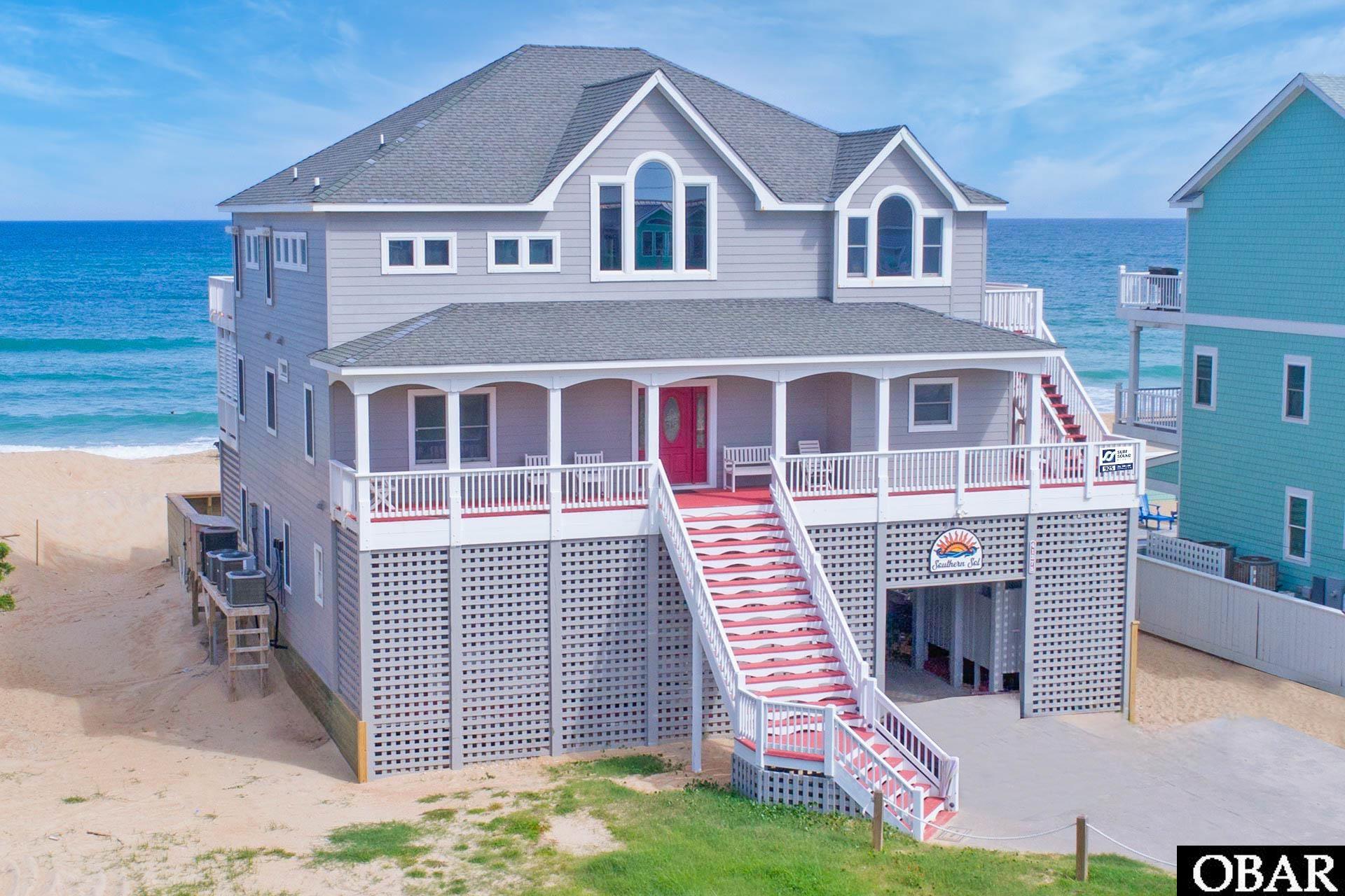
Base Flood Elevation (BFE) is below 10 feet. Flood insurance is mandatory for mortgages. Structures should be elevated to meet local standards to keep premiums manageable.
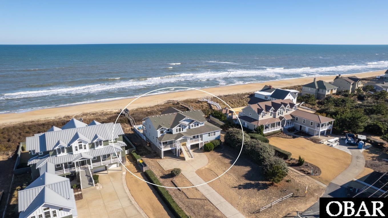
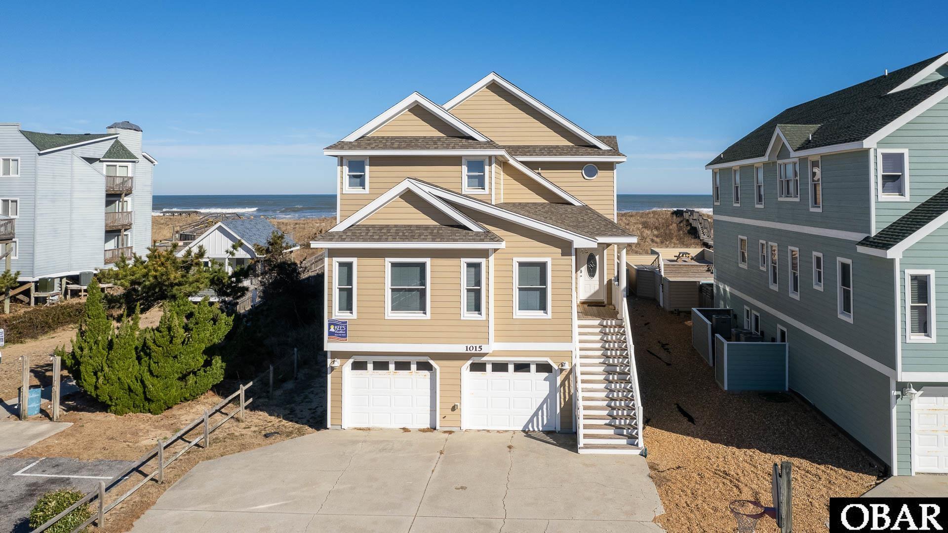
VE Zone (Coastal High Hazard)
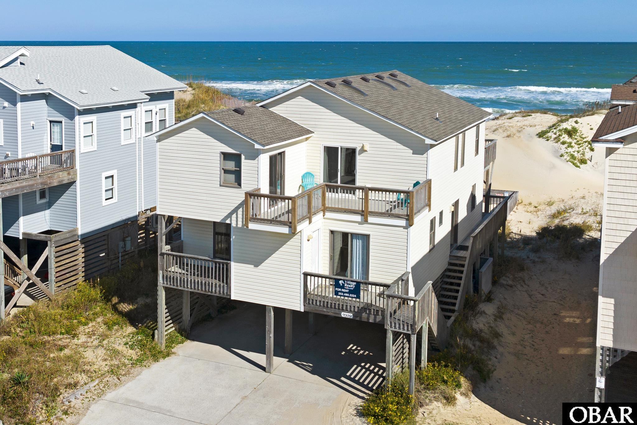
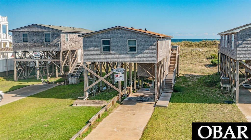
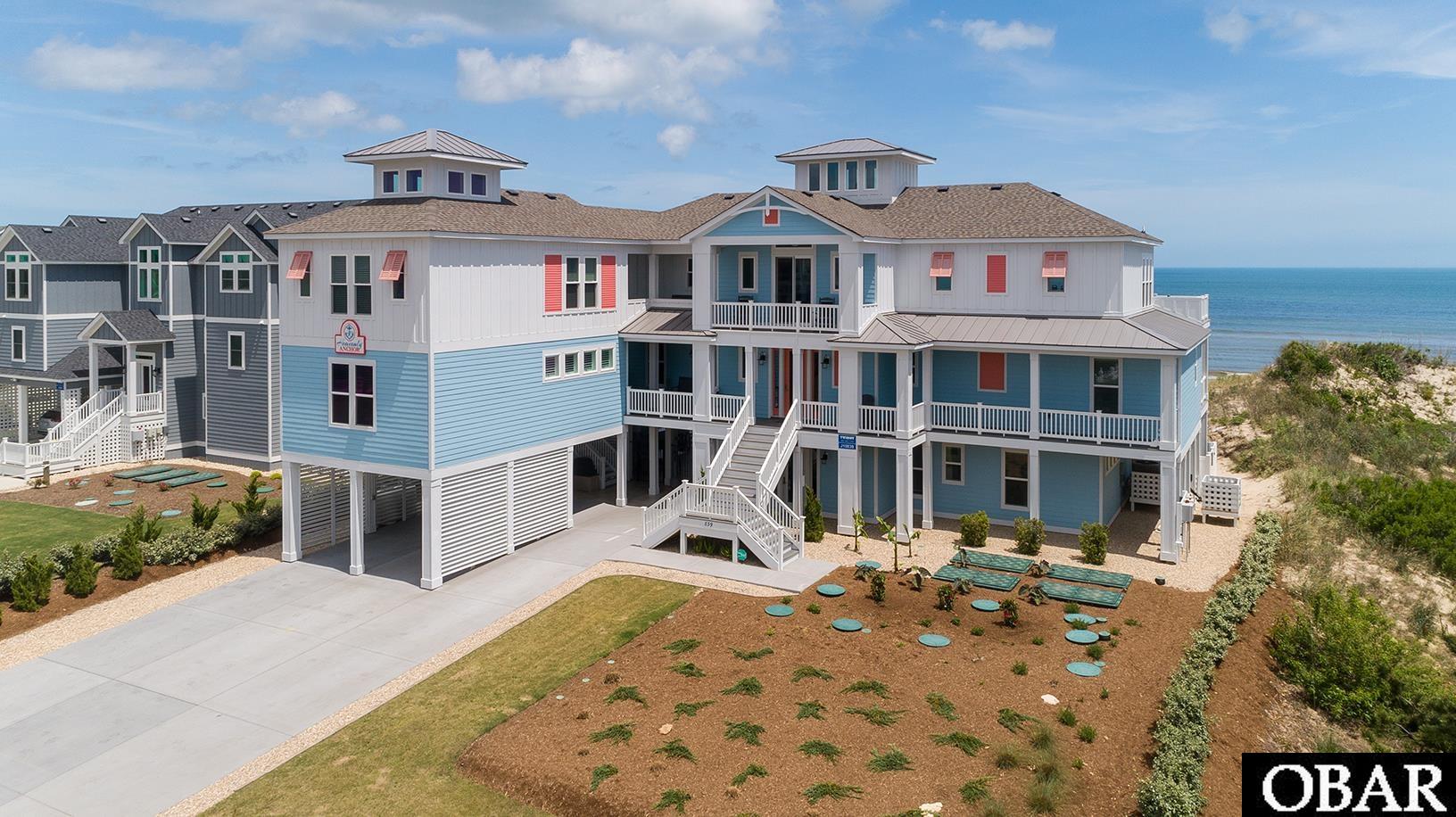
These zones face "velocity" flooding—meaning crashing waves accompany the rising water. VE zones are standard for oceanfront and some semi-oceanfront properties. Insurance rates here reflect the impact of wave energy.
The Reality: Risk Rating 2.0
The days of "one price for the whole zone" are over. FEMA now uses actuarial pricing that looks at your specific house. Even if two houses are in the same AE zone, their premiums will differ based on:
- First Floor Height: The higher your home is off the ground, the lower your rate.
- Distance to Water: How many feet your home sits from the ocean or sound.
- Rebuild Cost: High-end luxury rentals with high replacement values see higher premiums.
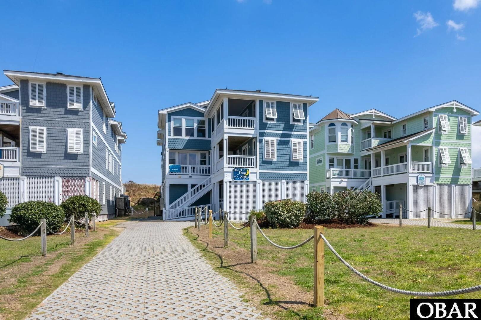
- Foundation Type: Open pilings (standard for oceanfront) are rated more favorably than solid foundations that obstruct water flow.
Local Elevation Standards (LES)
Because the 2020/2025 map updates moved many homes into X zones that still historically flood, towns like Nags Head and Kill Devil Hills have adopted "Local Elevation Standards." This means even if FEMA says you can build on the ground, the town may require you to be 8-12 feet high to protect your investment.